
Abstract — This article intends to investigate the use of a
Panorama Multi-Layer as an alternative tool to broaden the
understanding of cities’ modifications. We assume that a
Panorama Multi-Layer can convey unusual interpretations that
could identify significant changes in special areas of cities over
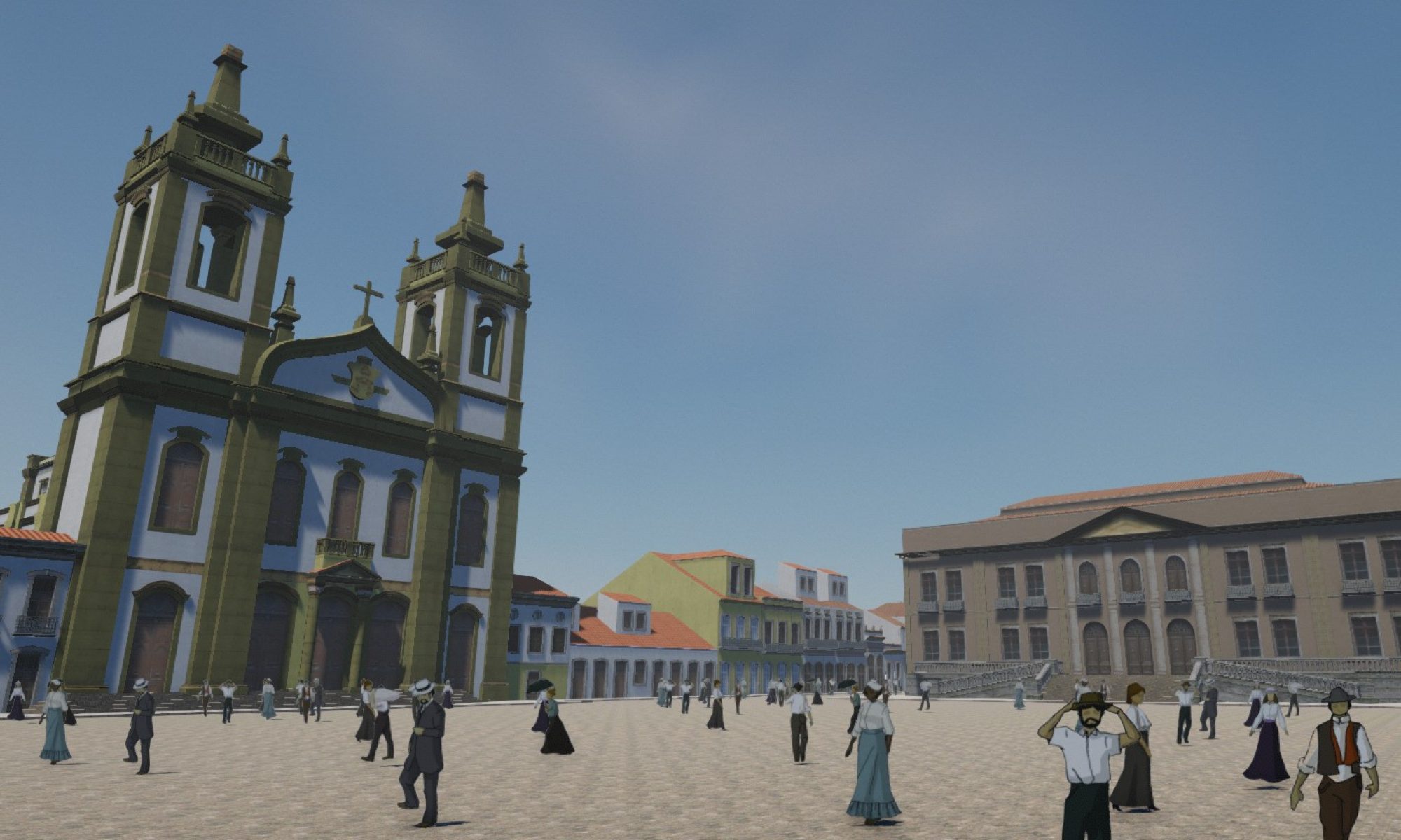
time. The hyper document comprises several interactive
panoramas; each one of them is a historical layer of the city.
Cylindrical panoramas, maps and hotspots compose the interface
and all these elements are interactively combined through
multimedia authoring software. This paper aims to demonstrate
new possibilities with digital and interactive panoramas, and a new
way to understand changes in a central area within the city of Rio
de Janeiro.
Autores
Ano do texto: 2008
Tags: 3D Modeling, History of the city, e panoramas
Citação ABNT
SOUZA, L. T.; SEGRE, R. ; BARKI, J. . Panoramas Multi-Layer e computação Gráfica: Uma “outra” interpretação para a História Urbana. In: XII SIGraDi – Sociedade Ibero-americana de Gráfica Digital, 2008, Havana. Gráfica Digital e Informática Aplicada: Cooperação, Integração e Desenvolvimento. Havana: CUJAE, 2008. v. 1.